Dundas and Mattawa
Dundas and Mattawa
-
Location
Mississauga, ON
-
Client
Hazelview Investments
-
Dates
2021-Ongoing
- Expertise
- Architecture
- Landscape Architecture
- Master Planning
Treaty Lands
Head of the Lake Purchase Treaty 14 (1806)
Indigenous Rights Holders
Mississaugas of the Credit
Historical Occupation
Anishinaabe, Attiwonderonk, Haudenosaunee, Huron-Wendat
*Treaty, territory and historical occupation information has been included for educational purposes, and is meant to show respect for these caregivers. This information is not intended to be a finite view, nor is it intended to represent legal rights or definitive boundaries. To learn more about these matters, please contact the nations in question.
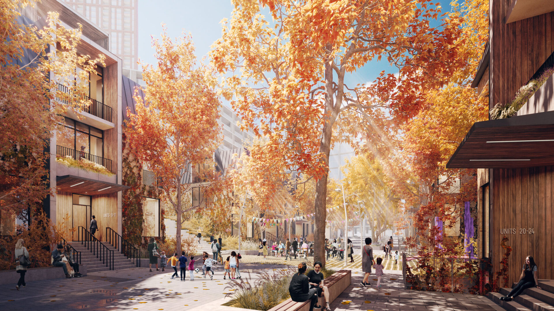
Over the next 40 years, the number of people living, working and travelling along Dundas Street will significantly increase. To plan for this growth, the City of Mississauga developed the Dundas Connects Master Plan, completed by SvN in 2018, recommending a more sustainable and mobile future. Dundas & Mattawa is a new mixed-use, transit-oriented community providing an integrated mix of commercial and residential uses. This development will provide much-needed housing to the region while building upon the aspirations set forth by the Dundas Connects Master Plan.
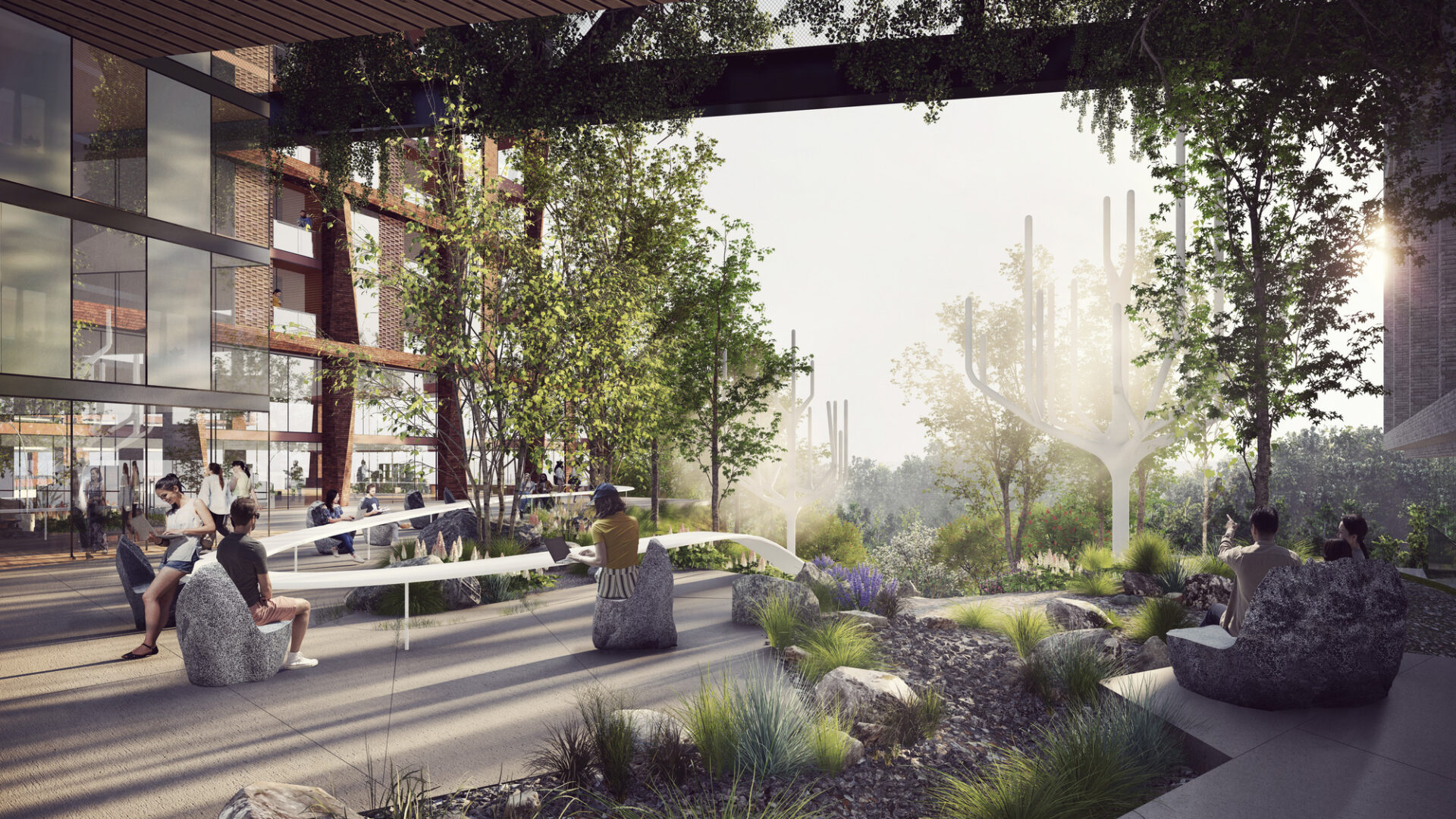
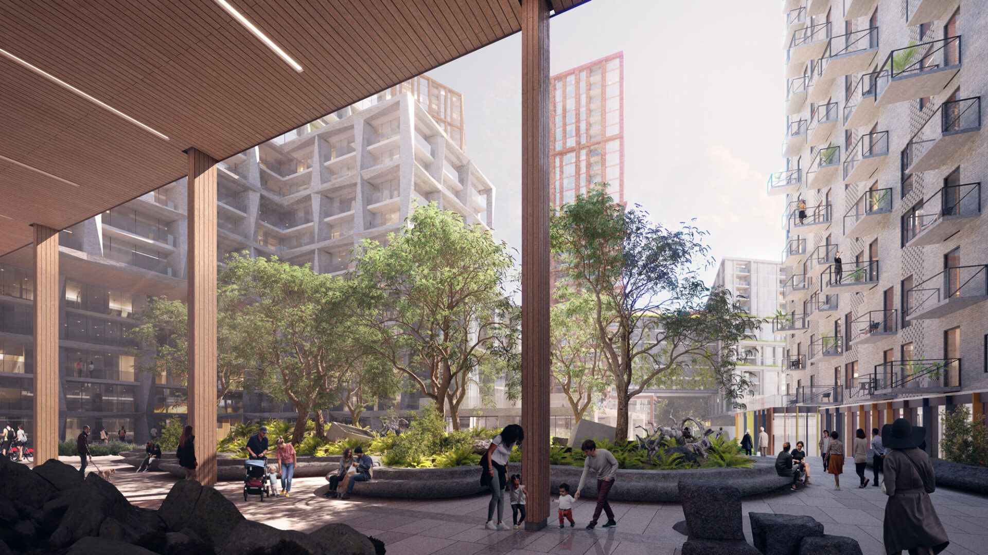
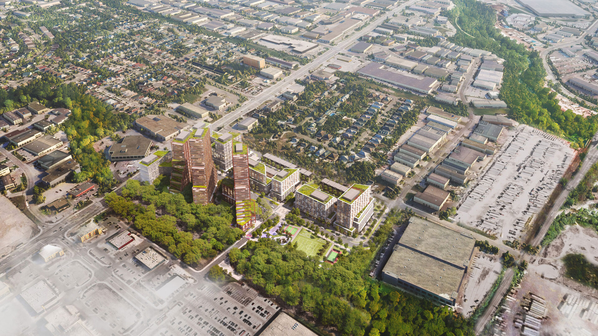
The site takes shape from this unique location at the nexus of the Dundas transit corridor and Etobicoke Creek. The existing 7.39-hectare (18.27-acre) site is underutilized by low-rise commercial buildings, with the vast majority of the site covered by surface parking. The development utilizes design and technical strategies to enhance programmed and naturalized areas, integrating landscape design into the architecture and elevating the impact of new amenities and connections to the surrounding neighbourhoods. The proposed design invites the creek into the community through a continuous series of landscaped rooms that improve the ecological relationship of the site to the creek while framing the daily public life of residents with a naturalized amenity and beauty. The built form responds contextually to its surroundings and utilizes innovative construction techniques to create dynamic forms with a purpose. These discrete landscapes improve the ecological relationship of the development to the creek while elevating the daily public life of residents with a naturalized landscape complete with amenities and a conscious approach to environmental stewardship and biodiversity.
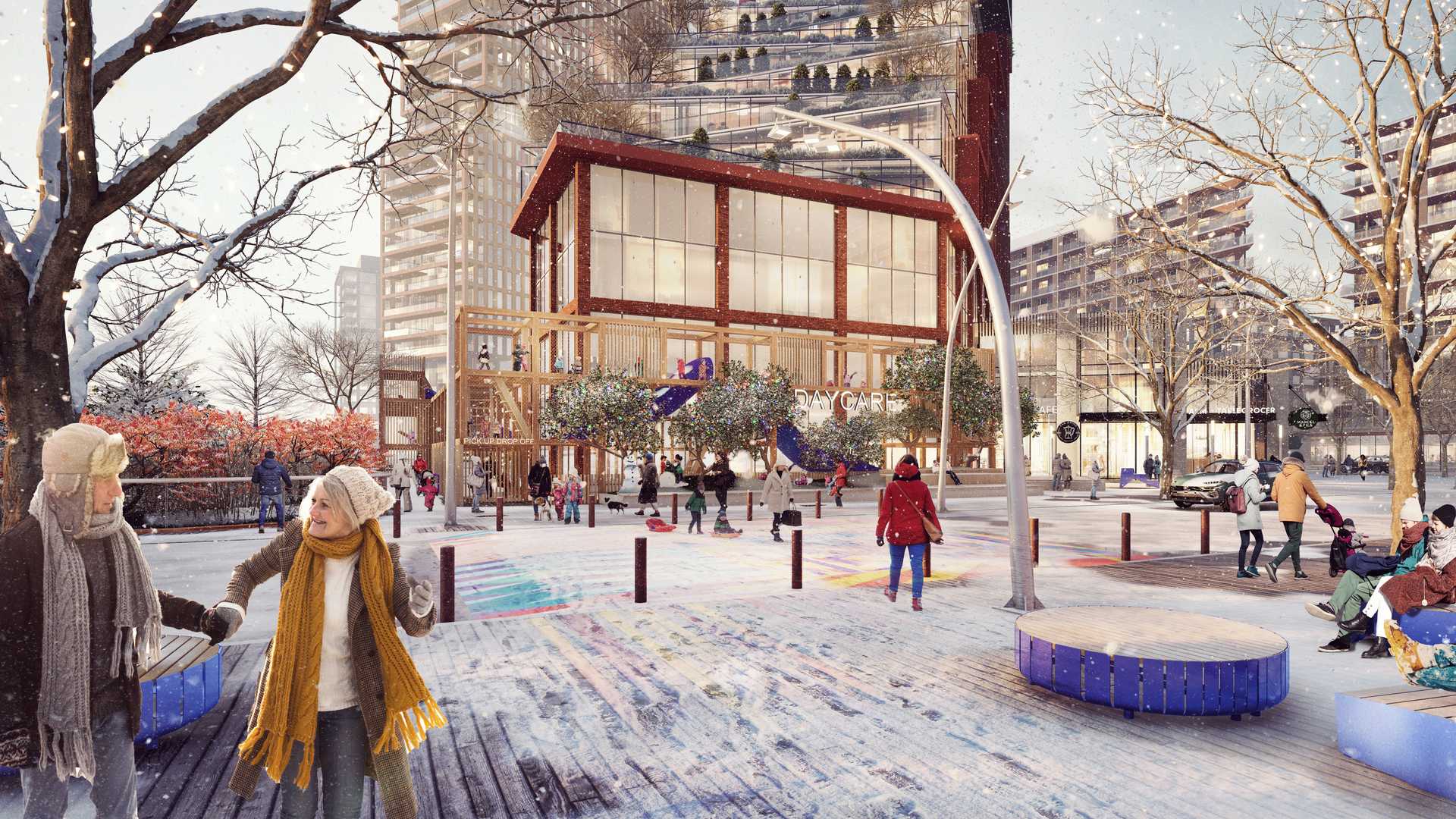
The resulting master plan design is focused around the future Dundas BRT, Dixie GO Station, and the existing MiWay transit system. It provides a unique opportunity to establish a fine-grain block structure that can support a new mixed-use community with direct access to transit, parks and community amenities. The built form considers adjacencies transitioning to surrounding low-rise neighbourhoods and lowering shadow impact. The community will have approximately 3,000 new residential units of various sizes, types and tenures in various building typologies, including three low-rises, stacked townhouse blocks, five mid-rise buildings, and five towers of different heights. At grade, the development will feature 2,500 square meters of commercial and retail uses and public amenities, including 450-square metres of community uses adjacent to a 1.03-hectare public park.
